Super Cool
Drone Mapping
Ariel drone footage capture
Year :
Week 1
Industry :
Drones
Project Duration :
2 weeks
Description
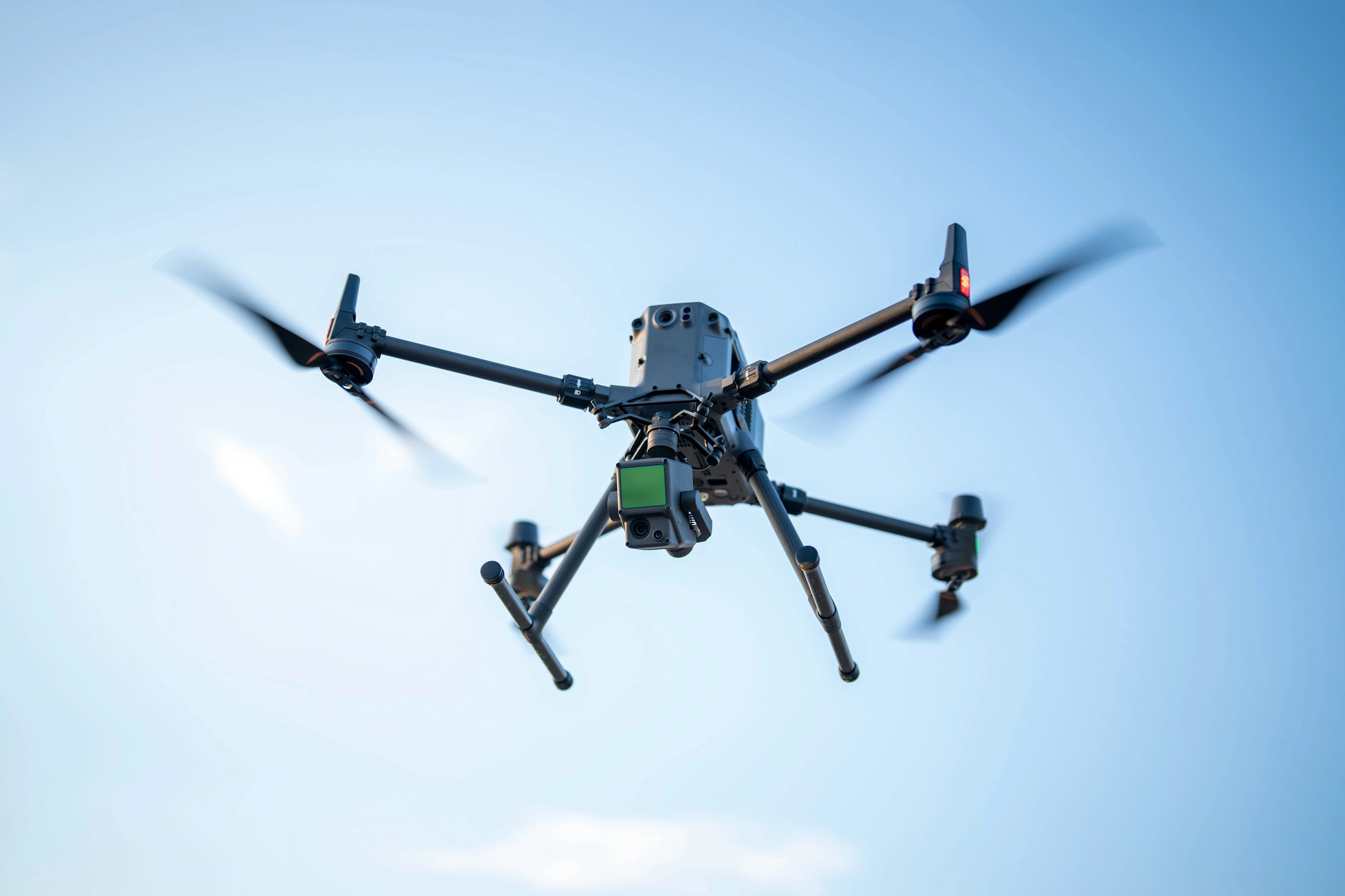
Aerial Monitoring using drone technology provided a full bird’s‑eye view of the project site.
Progress Tracking from above allowed us to observe development from a unique perspective not visible at ground level.
Visual Insights highlighted changes, movement, and structural evolution throughout the project timeline.
Stakeholder Communication improved through dynamic aerial footage that clearly showcased ongoing development.
Enhanced Understanding of the construction process by providing a broader, more accurate perspective.

NOTE
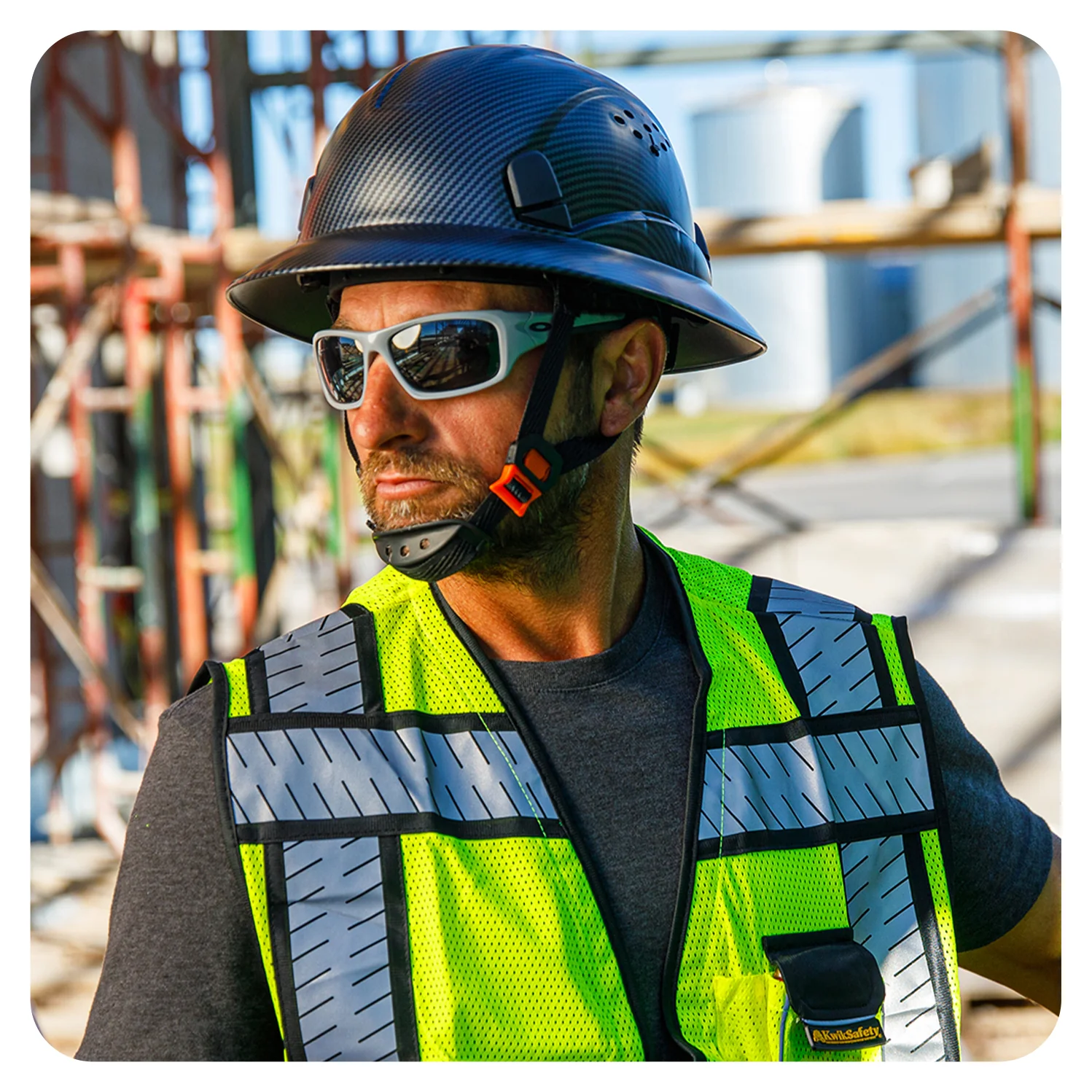
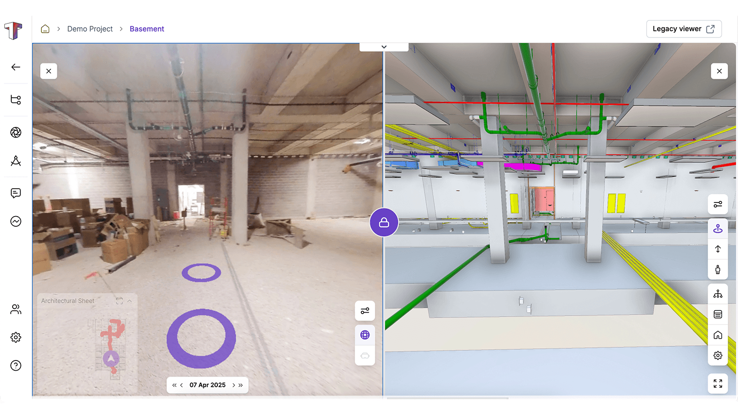
The images included are not from our project site. Due to copyright and protection requirements, authentic site imagery cannot be shared.